


Fun Fly Event Location Mapfrom Silverthorne take HWY 9 north to Green mountain reservoir. Go past the reservoir 1 mile and take a right on Williams peak road (Dirt Road no houses, CLICK HERE FOR PICTURE). Go 6 miles up dirt road to the top, take a right after the 6 Mile marker and go 1/4 mile till you see open ridge and wind flags. 4X4 recommended although I have gotten my Toyota mini van up there. It is a VERY rough road so be prepared. Takes about 30 minutes to get up the road. The winds at south ridge are INSANE, well worth the drive up. Actual name for the rock formation is "Haystack Mountain" but because it looks like a reptile we call it "Dynosaur" |
Fun Fly Information
Combat Countdown
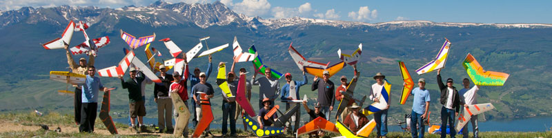
Combat Fun Fly is OVER! See Results |
|
© 2026 Super77th Airborne
All Rights Reserved.
Web Hosting By
WebEZ.net
Sat, June 13th, 2026